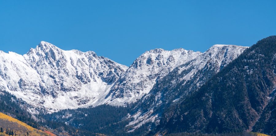
Let It Snow
The 2018-2019 winter season in the Centennial State has been an unusual one
Michelle Maria
Although the mountains have seen snow aplenty, the state is still suffering from droughts.
January 24, 2019
Coloradans have seen an abnormally small amount of snow in the Denver Metro Area this winter, and a developing El Niño event may be to blame.
Snowfall has been persistent within the several mountain ranges of Colorado, but the capital city and surrounding areas have been in a small drought through the first month of winter because of the warming of the waters in the Pacific Ocean.
According to the National Oceanic and Atmospheric Association on Tuesday, January 22, snowfall accumulations at DIA have totaled 11.1 inches from September through January. This is 16.3 inches less than the average snowfall expected through January, with statistics dating back to 1882. Should snowfall continue at this rate, the state would see a total of roughly 20 inches of snow through May.
This estimate is 35% of the average snowfall accumulation in Denver and would be the record low seasonal accumulation ever recorded at DIA or at any of the three other locations where the data collection took place since the monitoring began nearly 140 years ago.
However, this is highly unlikely. March is typically Colorado’s snowiest month, and several storm systems are expected to blanket the area in the following weeks.
Despite the potential variance, the lack of precipitation combined with the slightly above-average heat the state has been seeing has caused for droughts across the state.
Ranging from the ranks of ‘abnormally dry’ in the Metro Area to an ‘exceptional drought’ in the southwest corner of Colorado, 80% of the state is dealing with water insufficiencies. This number is up from 65% last season.
Denver Water, an organization dedicated to both volunteer work and eco-efficient services, has warned the area that water consumption will have a larger impact this season.
“Any drop we can save down here, because we have the necessary moisture we need for our landscapes, is a drop we get to keep in our reservoirs,” says spokesperson Travis Thompson. “We live in a very dry, arid state. So we know these dry spells are gonna come.”
This fluctuation of seasonal conditions is part of a normal process called the El Niño/Southern Oscillation, or ENSO, that normally repeats every three to seven years.
ENSO has to do with the rising and falling of the temperatures of the water in the Pacific Ocean. A period of time with higher temperatures is considered to be the El Niño position in the cycle.
Meteorologist Kelly Reardon explains, “During El Niño, … most of the country sees either neutral or drier than normal conditions. … [and] the effects of El Niño are strongest in the winter.”
The Pacific region came off the strongest El Niño recorded in the 21st century in 2016 and made the year the hottest to date. Such an event may resurface heading into 2019.
The NOAA and World Meteorological Organization say there is an 80% chance that an El Niño event is underway. If the Pacific waters are heating up, then it is likely this will continue through February, if not longer.
Some scientists have already predicted that 2019 will replace 2016 as the hottest year on record. Combined with the already above normal global temperatures, this process has the potential to bring much more weather-related dilemmas to the nations surrounding the Pacific Ocean.
WMO Deputy Secretary-General Elena Manaenkova says, “Every fraction of a degree of warming makes a difference to human health and access to food and fresh water.”


